
You booked the flight to Dublin. You packed a rain jacket. Now you’re staring at a map of Ireland wondering which trail won’t turn into a boggy disaster. The problem isn’t a lack of options. It’s too many options, and most online guides skip the details that matter: actual difficulty, parking access, and whether the path is marked at all.
This guide covers seven specific trails across Ireland. Each one has been walked, measured, and rated for a real hiker. No fluff. No “picturesque villages.” Just the data you need to pick the right hike for your fitness level and time frame.
What Makes an Irish Trail Different from Hiking Elsewhere
Ireland’s terrain is wetter, softer, and less predictable than most European hiking destinations. The ground underfoot changes fast. One minute you’re on gravel. The next you’re ankle-deep in peat bog. Trails that look flat on a map can take twice as long because of mud and uneven stone.
Three things matter more here than anywhere else:
- Waterproof boots with ankle support. Trail runners won’t cut it. You need a boot with a Vibram sole and a Gore-Tex membrane. The Salomon X Ultra 4 GTX ($180) or Merrell Moab 3 Mid GTX ($150) handle Irish mud well.
- Navigation backup. Phone signal dies in valleys. Carry a paper map from OS Maps Ireland (€12 per sheet) or download offline GPX files before you go.
- Wind layers. A fleece under a hard shell works better than a puffy jacket. The wind on coastal cliffs averages 25-35 km/h even on “calm” days.
The payoff for dealing with wet feet? Trails that hit ocean cliffs, mountain ridges, and ancient stone forts in a single afternoon. No other country packs this much variety into a 10-kilometer walk.
7 Best Hikes in Ireland: Trail-by-Trail Breakdown
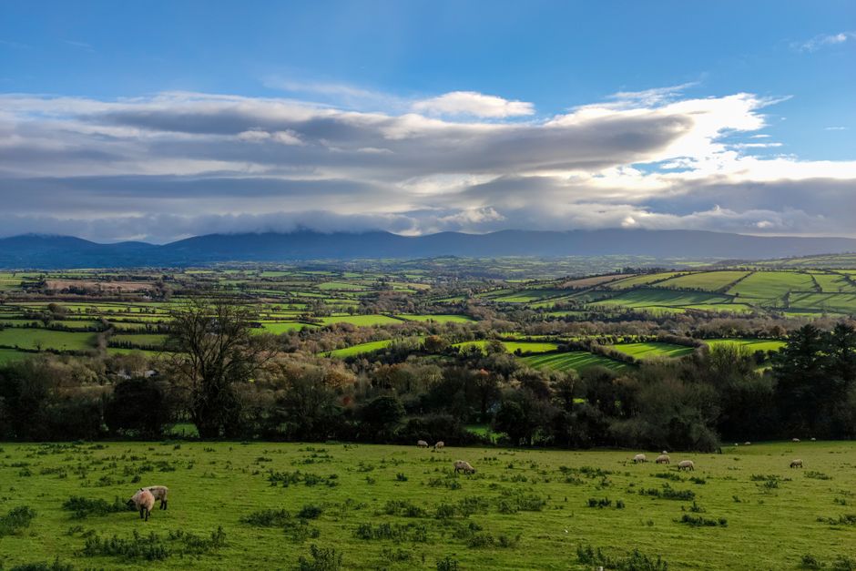
These hikes are ranked by difficulty, not popularity. Each entry includes the exact starting point, distance, elevation gain, and the one thing that makes it worth the drive.
1. Slieve Donard (County Down) — The Highest Peak in Northern Ireland
Distance: 9 km round trip. Elevation: 850 meters. Duration: 4-5 hours. Difficulty: Moderate to hard.
Start at the Donard Car Park in Newcastle. The path follows the Glen River up a stone staircase for the first kilometer, then opens onto open moorland. The final push to the summit is a steep scree slope. On a clear day, you see the Mourne Mountains, the Irish Sea, and the Isle of Man. On a foggy day, you see nothing. Check the mountain forecast on Met.ie before you start. If visibility is under 200 meters, skip it.
Verdict: Best for fit hikers who want a summit tick. Not for beginners. The descent is harder on the knees than the climb.
2. The Kerry Way — Gap of Dunloe Loop (County Kerry)
Distance: 11 km loop. Elevation: 320 meters. Duration: 3-4 hours. Difficulty: Easy to moderate.
Park at Kate Kearney’s Cottage. The path winds through the Gap of Dunloe between MacGillycuddy’s Reeks and the Purple Mountain Group. You’ll pass five lakes, stone bridges, and a handful of sheep who will stare at you like you’re the tourist. The road is shared with horse-drawn carts and cyclists. Walk early (before 9 AM) to avoid the midday crowds.
Verdict: The easiest high-value hike on this list. Great for families with older kids. Bring cash for the tea shop at Lord Brandon’s Cottage (€3 for a scone).
3. Cliffs of Moher Coastal Walk (County Clare)
Distance: 8 km one way (Doolin to the Cliffs visitor center). Elevation: 200 meters. Duration: 2.5-3 hours. Difficulty: Easy.
This is the most photographed trail in Ireland for a reason. The cliffs drop 214 meters straight into the Atlantic. The path is flat, well-maintained, and fenced in most sections. Start in Doolin village and walk south. The wind here is brutal. Hold onto hats and phones. Do not lean over the edge for a photo. Every year, someone falls.
Verdict: Perfect for casual walkers and photographers. Avoid between 11 AM and 3 PM when tour buses unload. Go at sunset for the light and fewer people.
4. Wicklow Way — Glendalough to Moyne (County Wicklow)
Distance: 14 km point-to-point. Elevation: 450 meters. Duration: 5-6 hours. Difficulty: Moderate.
The Wicklow Way is Ireland’s oldest long-distance trail. This section starts at the Glendalough Upper Lake car park and climbs over the Spinc ridge. The view of the glacial valley below is the best reward-to-effort ratio on this list. The path is rocky and exposed in sections. Poles help. The descent into Moyne is a gentle forest track.
Verdict: The best day hike from Dublin (1 hour drive). You’ll need two cars or arrange a taxi pickup at the end (Moyne Village, call ahead to Wicklow Taxis, €25).
5. Dingle Peninsula — Mount Brandon (County Kerry)
Distance: 12 km loop. Elevation: 950 meters. Duration: 5-7 hours. Difficulty: Hard.
Mount Brandon is the second-highest peak in Ireland. The trail starts at the car park near Ballybrack village. The first 3 km are a gentle incline through farmland. Then the real climb begins — 600 meters of elevation gain over 2 km on a loose stone path. The summit is a ridge with cross-shaped cairns. The wind at the top can knock you off balance. This is not a solo hike for beginners.
Verdict: For experienced hikers only. The views over the Blasket Islands are unmatched. Go on a high-pressure day with low wind.
6. Burren National Park — Mullaghmore Loop (County Clare)
Distance: 7 km loop. Elevation: 180 meters. Duration: 2-3 hours. Difficulty: Easy to moderate.
The Burren is a limestone karst landscape that looks like the surface of the moon crossed with a rock garden. The Mullaghmore loop starts at the Burren National Park car park near Corofin. The path is marked with wooden posts. Follow the yellow arrows. The rocks can be slippery when wet. The reward is a 360-degree view of the Burren’s terraced hills and the Atlantic beyond.
Verdict: Short enough for an afternoon. Combine with a visit to the Cliffs of Moher (30 minutes south) for a full day of hiking.
7. Connemara National Park — Diamond Hill (County Galway)
Distance: 7 km loop. Elevation: 440 meters. Duration: 2.5-3.5 hours. Difficulty: Moderate.
Diamond Hill is the most accessible mountain hike in Connemara. The path is a well-graded gravel trail with boardwalks over the boggy sections. The summit offers views of the Twelve Bens mountain range, Kylemore Abbey, and the Atlantic. The car park at the visitor center fills up by 10 AM. Arrive early or park on the road outside.
Verdict: The safest “mountain” hike for beginners. Great for families with teenagers. The visitor center has clean toilets and a cafe with good coffee.
Trail Comparison Table: Quick Decision Guide
| Trail | Distance | Elevation | Difficulty | Best For |
|---|---|---|---|---|
| Slieve Donard | 9 km | 850 m | Hard | Summit seekers |
| Kerry Way (Gap of Dunloe) | 11 km | 320 m | Easy-Moderate | Families, scenic walkers |
| Cliffs of Moher | 8 km | 200 m | Easy | Photographers, casual walkers |
| Wicklow Way (Glendalough) | 14 km | 450 m | Moderate | Day trip from Dublin |
| Mount Brandon | 12 km | 950 m | Hard | Experienced hikers |
| Burren (Mullaghmore) | 7 km | 180 m | Easy-Moderate | Short afternoon hike |
| Diamond Hill | 7 km | 440 m | Moderate | Beginners, families |
Common Mistakes That Ruin an Irish Hike
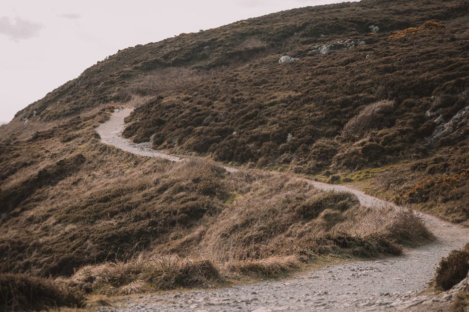
Most problems on Irish trails come from three errors. Avoid these, and your hike goes smoothly.
Wearing the wrong footwear. Trainers with no grip turn a wet rock into a slip-and-slide. The Keens Targhee III ($140) or Lowa Renegade GTX ($240) provide the ankle support and sole grip needed for loose stone and boggy ground. Do not wear fashion boots. They will fail.
Underestimating the weather. Ireland’s weather changes in 20 minutes. A clear sky at the car park can turn into horizontal rain on the ridge. Pack a waterproof jacket (not just a windbreaker) and a warm mid-layer even on a sunny forecast. The Patagonia Torrentshell 3L ($179) is a solid, affordable shell.
Ignoring the tide. Coastal trails like the Cliffs of Moher and parts of the Dingle Peninsula have sections that go tidal. Check the Irish Tide Tables (app or website) before you go. Getting cut off by the rising tide is a real emergency. It happens multiple times every summer.
When Not to Hike Certain Irish Trails
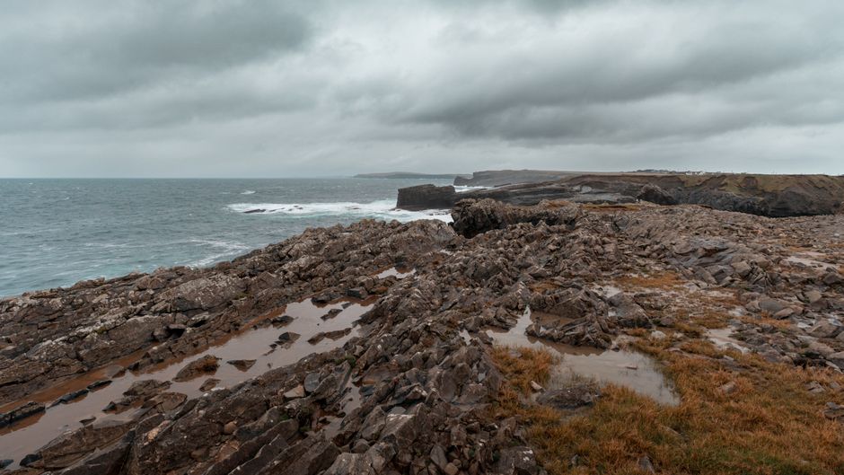
Not every trail is right for every day. Here is the honest truth about when to skip a hike.
Slieve Donard and Mount Brandon are dangerous in fog or high wind (over 50 km/h). The paths are exposed and the summits have sheer drops. If the mountain forecast says “poor visibility” or “severe gusts,” go to a low-level trail instead. The Kerry Way or Diamond Hill work fine in bad weather.
Cliffs of Moher is miserable in heavy rain. The path is flat, but the wind drives rain into your face at 40 km/h. You won’t see the cliffs anyway. Save it for a dry day.
The Burren is dangerous after heavy rain. The limestone becomes slick as ice. Stick to the boardwalk sections and avoid the rocky scrambles when wet.
If you only have one day in Ireland and want a guaranteed good experience regardless of weather, hike the Kerry Way loop. It’s sheltered enough to handle light rain, the views are consistent, and the tea shop at the end is a genuine reward.
The single most important takeaway: pick the trail that matches today’s weather, not the one on your bucket list.